Details
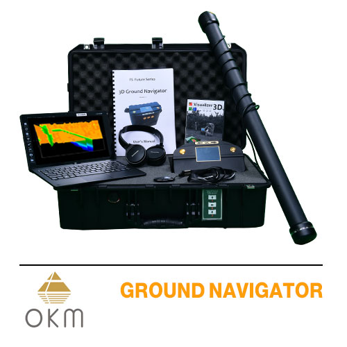
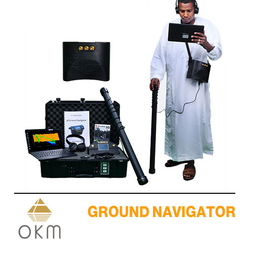
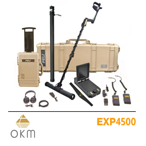
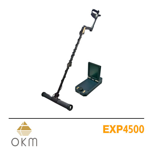
Ground Navigator is a gold detector for the exploration of gold and treasures supplied with the latest 3D imaging techniques
Device Features
Ground Navigator is the most modern three-dimensional ground scanner and the sophisticated metal detector which is developed by OKM the great German company which is featured in the field of monuments detection and buried treasures. It is characterized by high accuracy in detecting underground spaces, enabling you to easily locate archaeological sites.
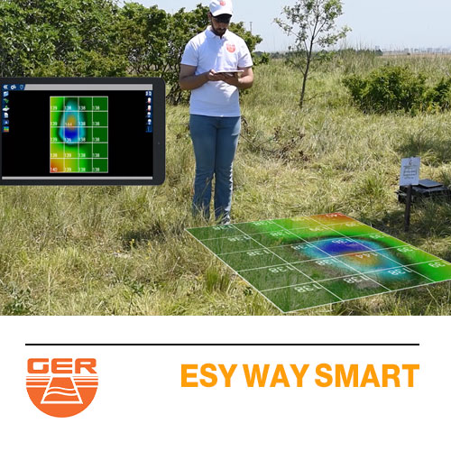
The device allows you to chapter three-dimensional images of the targets underground, and the device has a high sensitivity to the frequencies of metal buried underground, which makes it distinguish the different types of metal accurately and tells you if it is gold or silver or otherwise.
The treasures detector Ground Navigator is accredited by the world’s largest exploration delegation and it is a holder of many of the international quality certificates, specializing in the exploration of the golden treasures, archaeological tombs, and precious metals
The German gold detector Ground Navigator is characterized by an underground research depth up to 40 meters, which is the maximum depth possible to reach the real results with the device is confirmed by OKM factory guarantee and it is also guaranteed by the Gold Master global company for five years and We provide a practical field experience on the device so you can test drive it before buying.
The unique features and technical specifications of the 3D GROUND NAVIGATOR gold detector are:
A multilingual device that allows all of the prospectors and users in the whole world to use it very quickly and smoothly
The device is accompanied by an advanced analytical program, a magnetic scale system that helps the user to determine the target center and measure the signal strength of the target,
The system is characterized by a system of distinction that helps distinguish precious metals such as gold, silver, and other precious metals as well as the distinction between non-precious metals such as iron and other precious metals. This system also helps to identify the caves, tunnels, graves, and mines within the underground
Geological scanning system which works with a 3D technology and direct imaging of buried objects
An advanced high-resolution tablet system that helps the user see the results directly when the user scans the target
The advanced system of determining the shape of buried objects, which reaches 98% of the true shape of the target and works on underground depths of 40 meters within the ground

 Sound System Metal Detectors
 Imaging System Detectors
 Long Rang Locator System
 Underground Water Detectors
 Raw Gold Detectors
 Diamond And Gemstone Detectors
